Atlas
A slow map
Geography organises this archive. Public layers stay coarse on purpose.
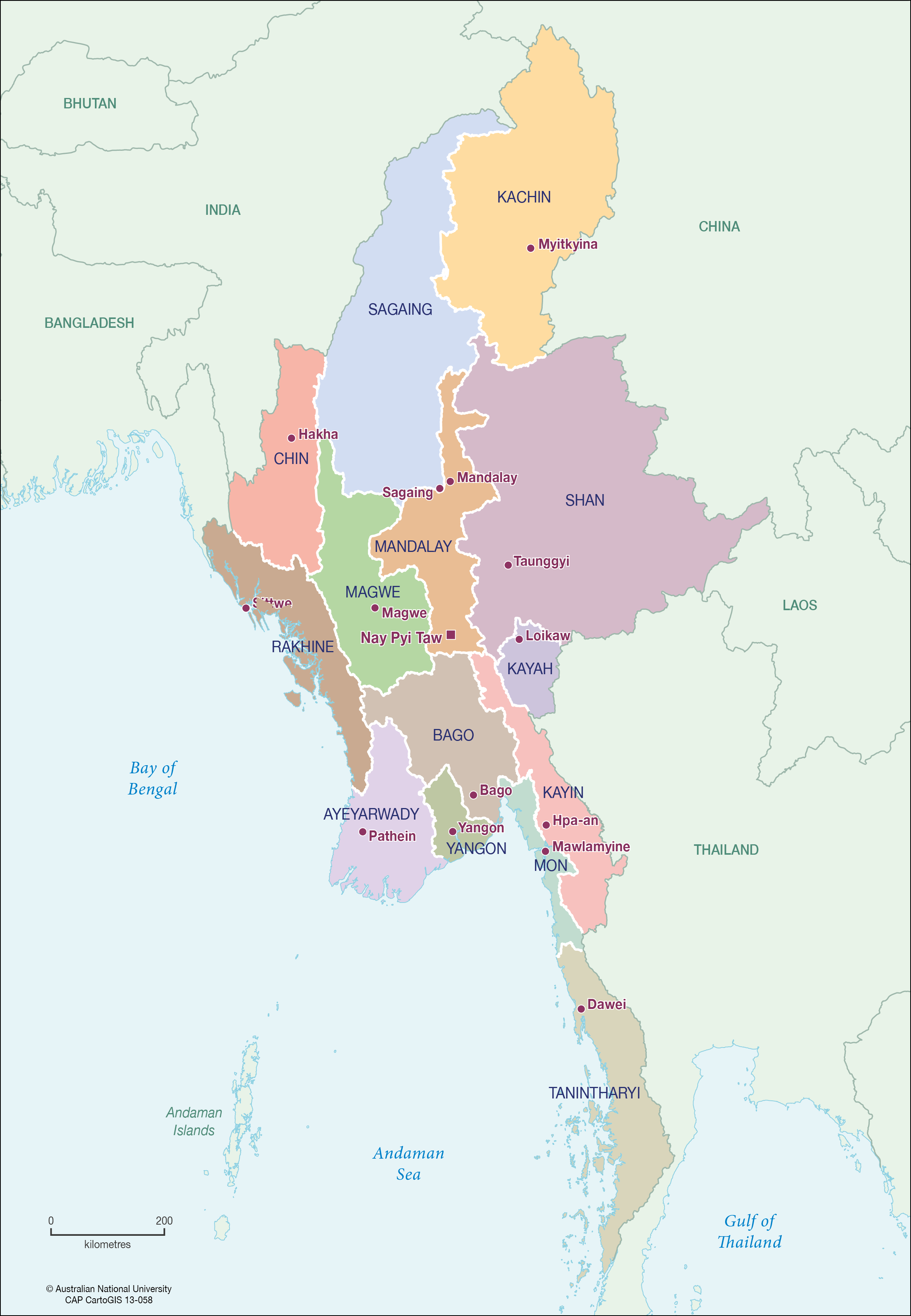
This first atlas is a state-outline graphic used in 2017 hotel-school files — a cartographic picture, not a georeferenced layer.2
A guesthouse sketch at claimed 1:1000 exists in the November 2017 pack. It is held offline. It is not published here, because a tight aerial would pinpoint the landing.
Future licensed layers — Peace Park boundary from KESAN, coarse hydrography, fuzzed photograph locations — will be added only with provenance, date, licence, confidence and a safety review.