Kawthoolei
Mu Aye Pu
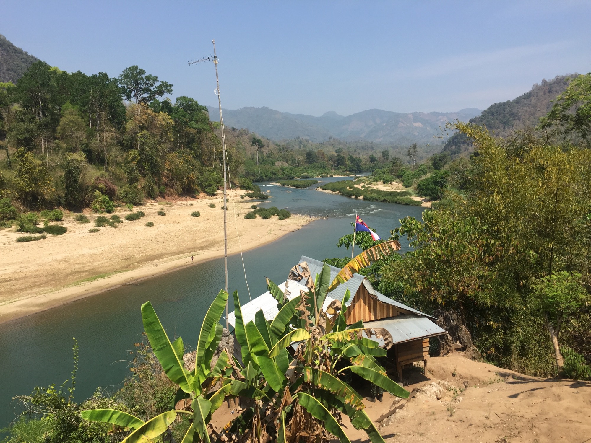
A Karen village on the Moei River. Forest, water, and the land called Kawthoolei.
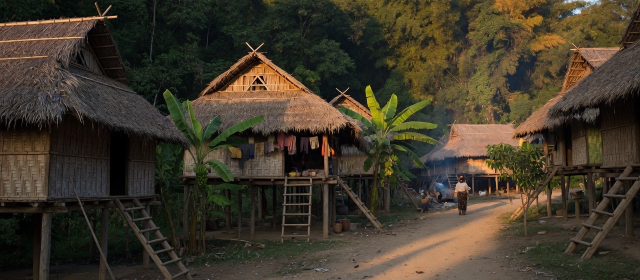
The river is the road. Houses stand on stilts above the sand. Behind the roofs, the forest begins at once.
Mu Aye Pu is a living village of the Karen people, on the Myanmar bank of the Moei, the Thaungyin, with Thailand visible from the rafts. These pages introduce that place: its people, its culture, and the hills they keep.
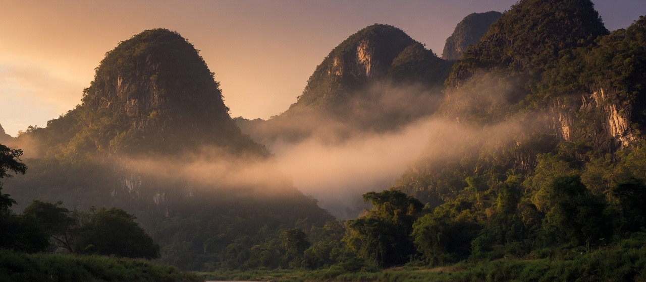
The hills of Kawthoolei rise from the water. This is Karen country.
Enter the place
Place
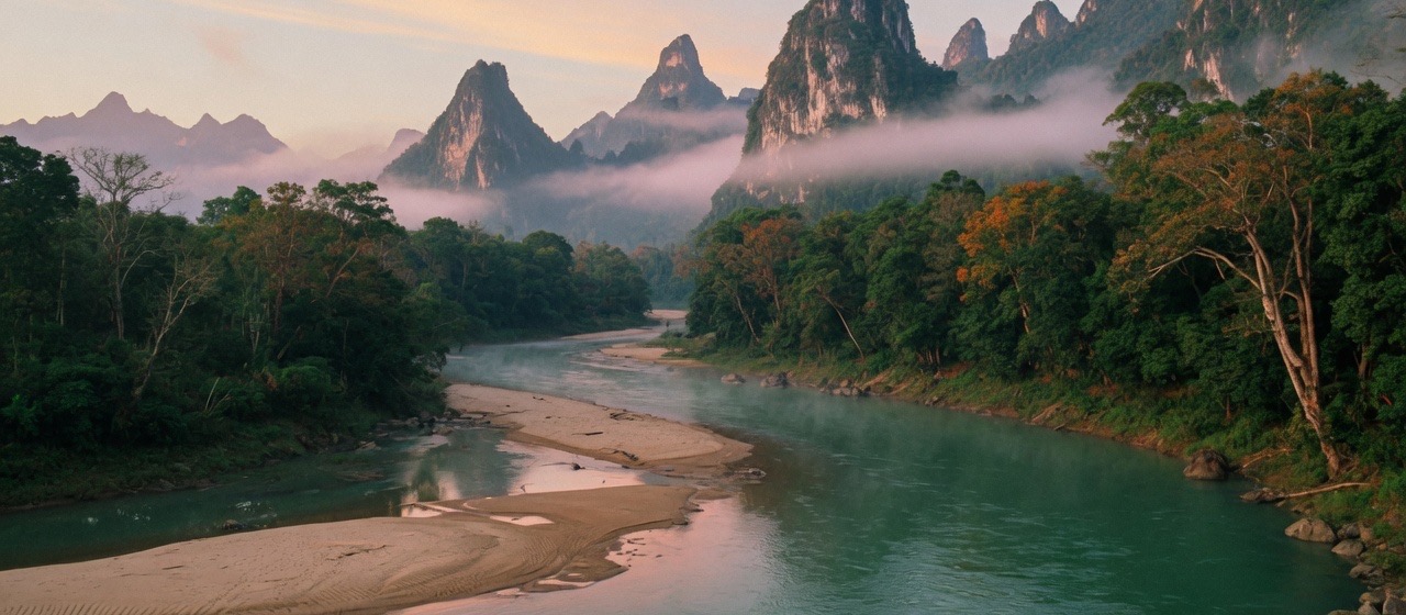
A landing on the Moei. Karst forest, sandbar, Thailand on the far bank.
People
Karen families, rangers, elders. The village is the story.
Culture
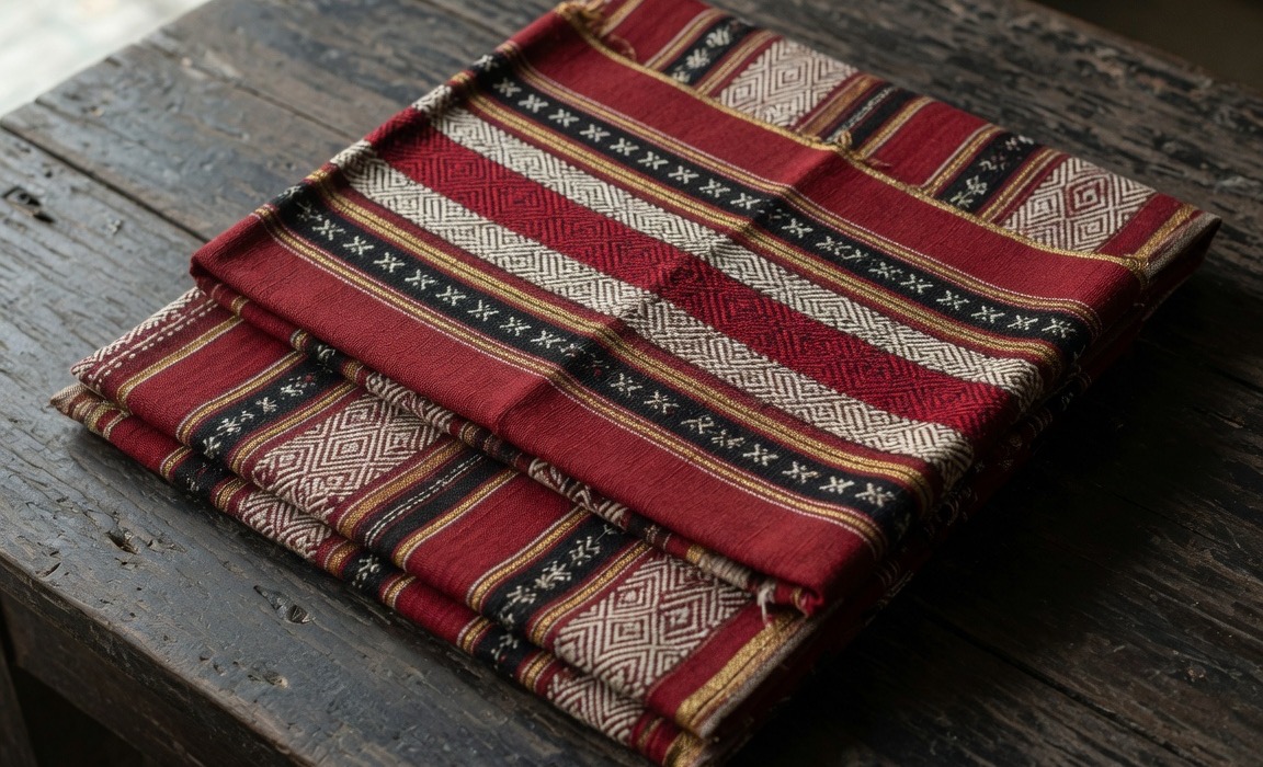
S’gaw and Pwo. Cloth, rice, kaw: a land system, not a costume.
Nature
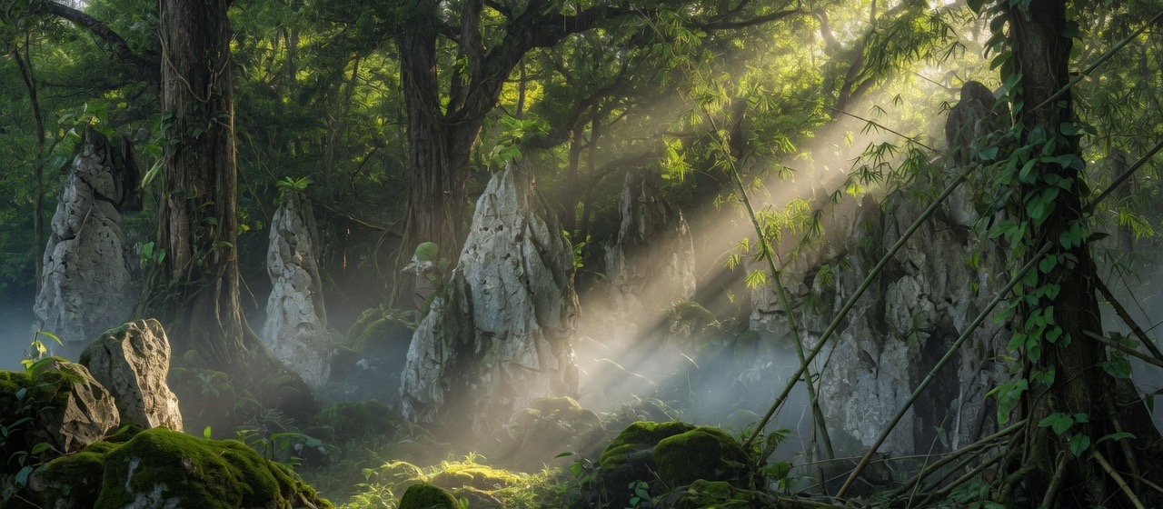
Karst, monsoon forest, a border river, and nearly eighty years of war that both hid and, with Karen law, helped keep this country.
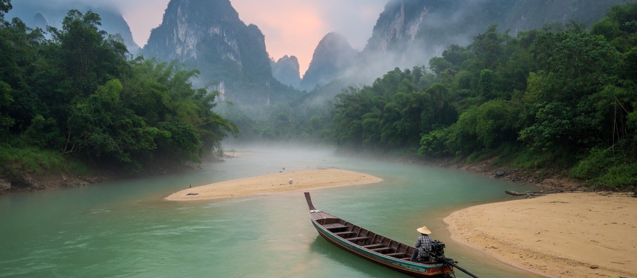
Visit
Come as a guest
There is no ticket office on this river. Mae Sot, on the Thai side, is the usual first town. Arrangements are made with people who already know the village, and only when the hills are quiet enough to receive strangers.
How to approachLanguage
Study, or help teach
Volunteers run an English and German programme for people of this village and the wider hills. Classes are online, and in person at Mu Aye Pu when the hills are quiet enough. Enrolment and volunteer contact live on their own site.
History
Older than any map
The Karen have lived in these mountains longer than the modern borders of Burma. Kawthoolei is their name for the land. The war that began in 1949 is among the longest in Asia. A handful of development drawings from the ceasefire years are a footnote. They are not the village.
Read the history